

Fleetwood Seafront and Beaches
Explore Fleetwood seafront, following the coastline from Cleveleys, right around the peninsula to the estuary of the River Wyre.
Fleetwood Seafront and Beaches Read More »
Welcome to Coast Watchers! Help to build a photographic record of how our beaches and shoreline changes over the seasons and over the years.
Your photos will join data from other sources like tide gauges, buoys, radar, weather stations, and others. Together we’ll build up the bigger picture of our beaches.
This is a new project. It’s a partnership between us here at The Rabbit Patch and the engineering team at Wyre Council. Lancaster University are also helping.
Find out more about Coast Watchers here.
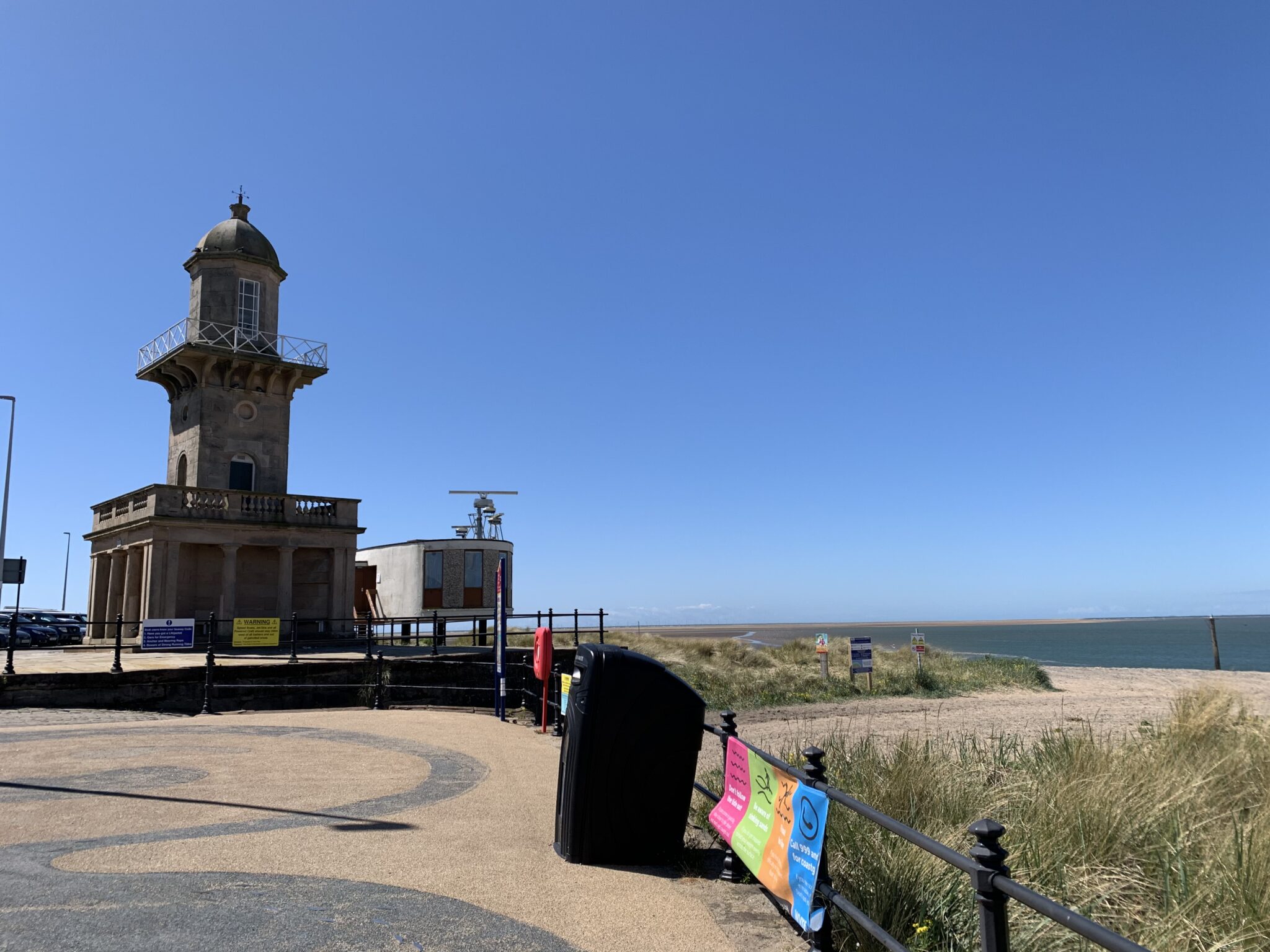
Explore Fleetwood seafront, following the coastline from Cleveleys, right around the peninsula to the estuary of the River Wyre.
Fleetwood Seafront and Beaches Read More »

The Rossall Coastal Defence Scheme was officially opened on Friday 1 June 2018. Look around and see how it was built.
Rossall Seawall & Coastal Defence Scheme Read More »

Over the years, the Irish Sea has succeeded in causing flooding in Fleetwood a number of times.
Flooding in Fleetwood Read More »

Larkholme Grasslands is an amazing green open space at Fleetwood seafront. It’s a natural landscape, filled with flowers and wildlife.
Larkholme Grasslands Read More »
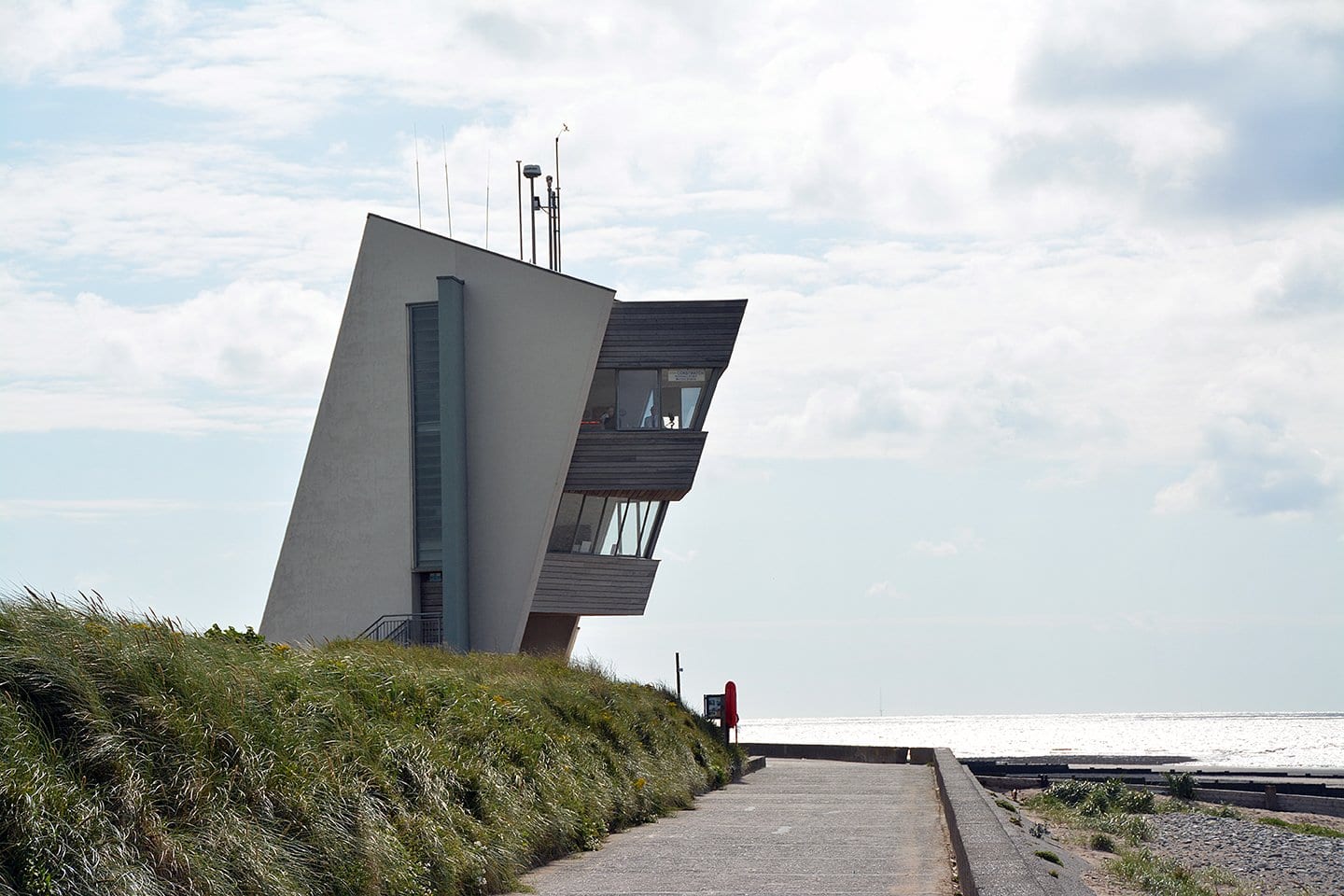
Rossall Tower is the four storey building on the outer promenade at Fleetwood, which leans into the wind, looking over the beach.
Have you seen Rossall Tower? Read More »

Have a look at some Fleetwood beach landmarks. Have you got any more to add? They’re traces of the past, on the shore and out in the bay
Fleetwood Beach Landmarks Read More »